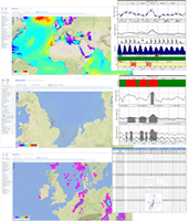
Weather & Marine forecasting services
We provide forecasting services for any location, area and route around the world. We specialise in setting up customised domains offering high resolution forecasts of ocean and coastal conditions to provide detailed information for offshore facilities and along routes.
All of the forecast products are distributed through e-mail and a web interface, in a user friendly graphical format and as text files.
Standard forecast service includes:
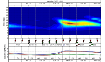
- Site specific forecasts of wind, waves and currents including 2D wave spectra
- Rain, temperature, visibility, thunderstorm forecasts
- Tidal predictions
- User-specific weather hazard forecasts and alerts
- Tropical cyclone tracks
- Lightning observations and proximity alerts
- Animated forecast map overlays showing precipitation and pressure (MSLP), winds, wave height, wave period, visibility, surface currents and temperatures
- Satellite cloud map overlays (colour enhanced, IR cloud & visible)


Additional services (project based)
- 24/7 forecast support
- Route forecasts – ship routing and route analysis
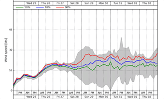
- Ensemble forecasts – to provide information about the forecast uncertainty
- Coastal location forecasts – accounting for shallow water effects
- Detailed site-specific current information – providing current information at different depths
- Motion forecast – forecasting the heave, pitch and roll of a vessel
- Emergency Response Interface – Oil spill trajectory, or other emergency trajectory forecasting.
